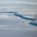

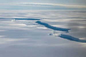
Mountains, sub-glacial lakes, hidden valleys, even remnants of lost civilizations: what lies under Antarctica’s vast 2,000-metre thick ice sheet has long been a mystery akin to the depths of the ocean or the dark side of the moon.
As big as the US and India combined, much of the frozen continent is off-limits to the handful of hardy visitors permitted each year, adding to the mystery.
The sense of enigma has been heightened by the revelation that “strange radio pulses” detected in the ice defy explanation after almost a decade of trying to figure them out.
First picked up in 2016 by instrument-laden balloons flown by NASA’s Antarctic Impulsive Transient Antenna (ANITA) team, the inexplicable “anomalies” appear to be a “form of radio waves,” according to researchers from Penn State University (PSU).
But what makes the pulses anomalous is that they “appeared to be coming from below the horizon” – an orientation that “cannot be explained by the current understanding of particle physics,” the researchers confirmed.
“The radio waves that we detected nearly a decade ago were at really steep angles, like 30 degrees below the surface of the ice,” said PSU’s Stephanie Wissel, who was part of the NASA ANITA team.
In other words, the pulses should have been absorbed by rock – thousands of kilometres of it going by the angle of the pulses – long before the balloons could detect them.
“It’s an interesting problem because we still don’t actually have an explanation for what those anomalies are,” Wissel said.
Funded by the US Department of Energy and the US National Science Foundation, the PSU researchers were part of a team made up of dozens of scientists that worked at the world’s biggest cosmic ray detector – the Pierre Auger Observatory on the western Argentine plain – to try solve the riddle.
The team’s attempt to decode the mystery featured in the journal Physical Review Letters in late March and was publicised in a statement released by PSU in mid-June.
In mid-March, a multinational team of scientists including representatives of the British Antarctic Survey (BAS) published what they described as “the most detailed map yet” of sub-glacial Antarctica.
Showing the shape of the continent were it ice-free, the map showed a tapestry of islands, mountains and valleys and revealed the ice’s thickest point to be an approximately 4,700-metre section filling an unnamed canyon.